Incantu de Sardigna
For free-spirited hearts only
Hiking around the Supramonte
Incantu de Sardigna

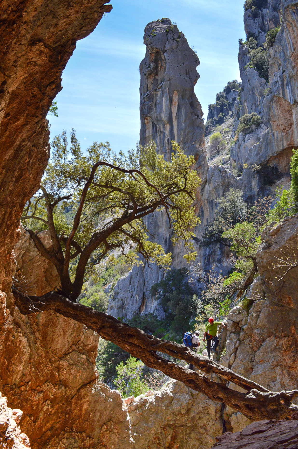
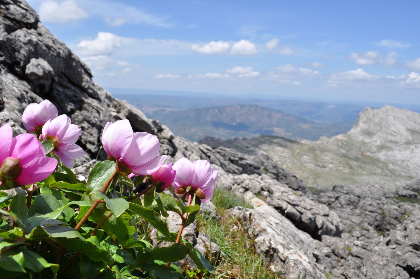
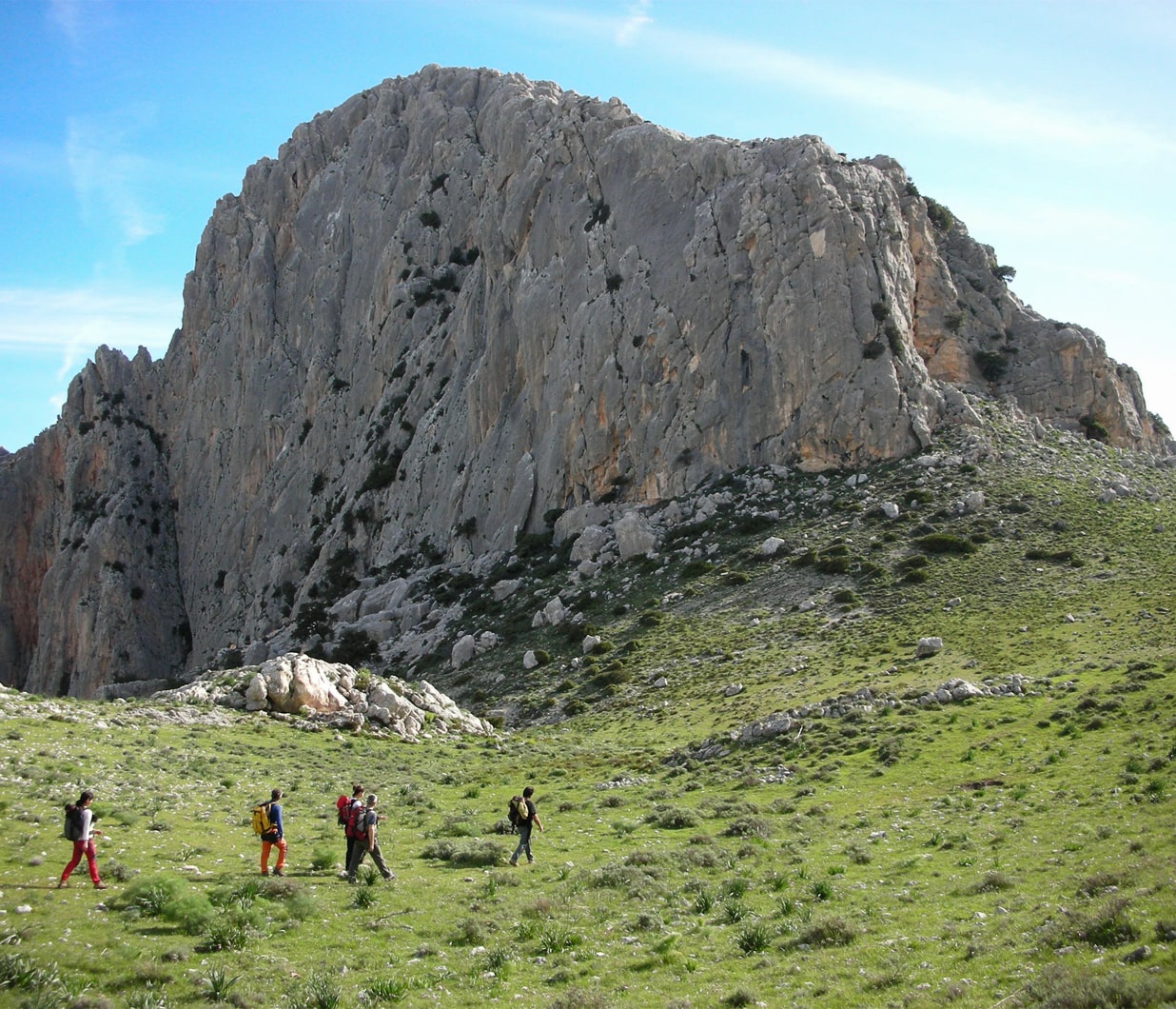
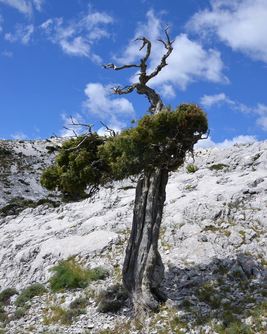
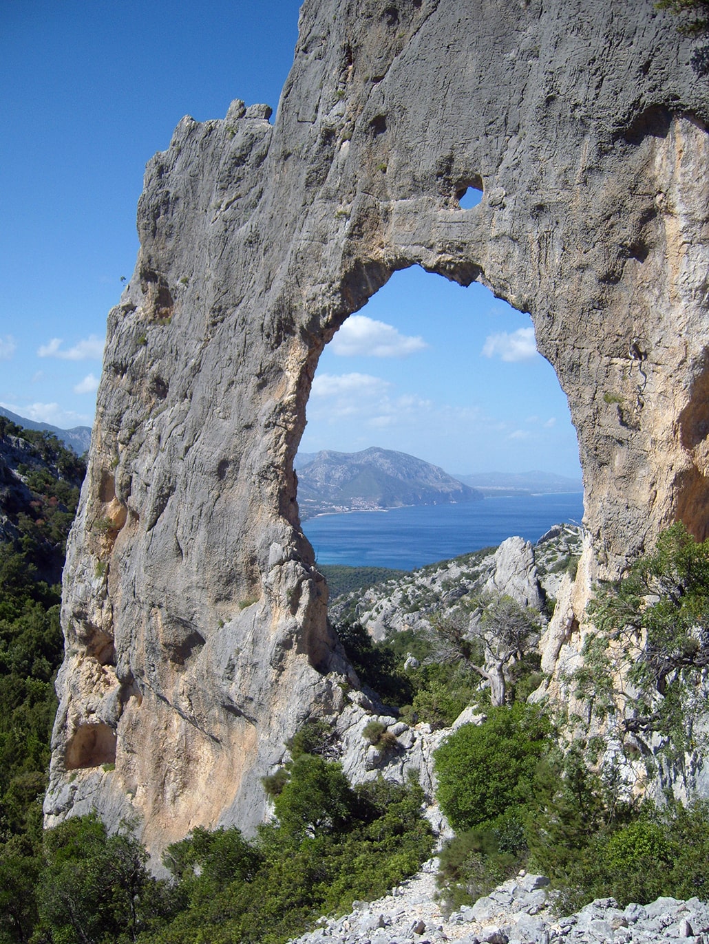
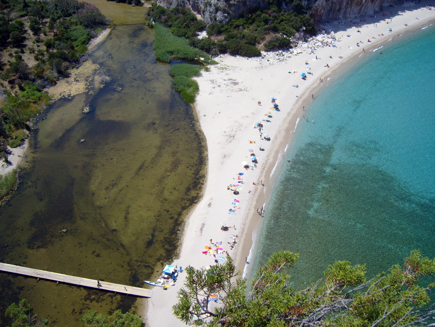
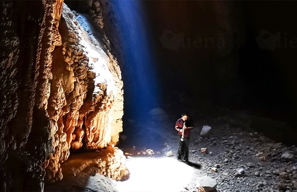
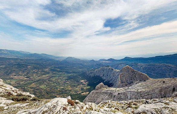
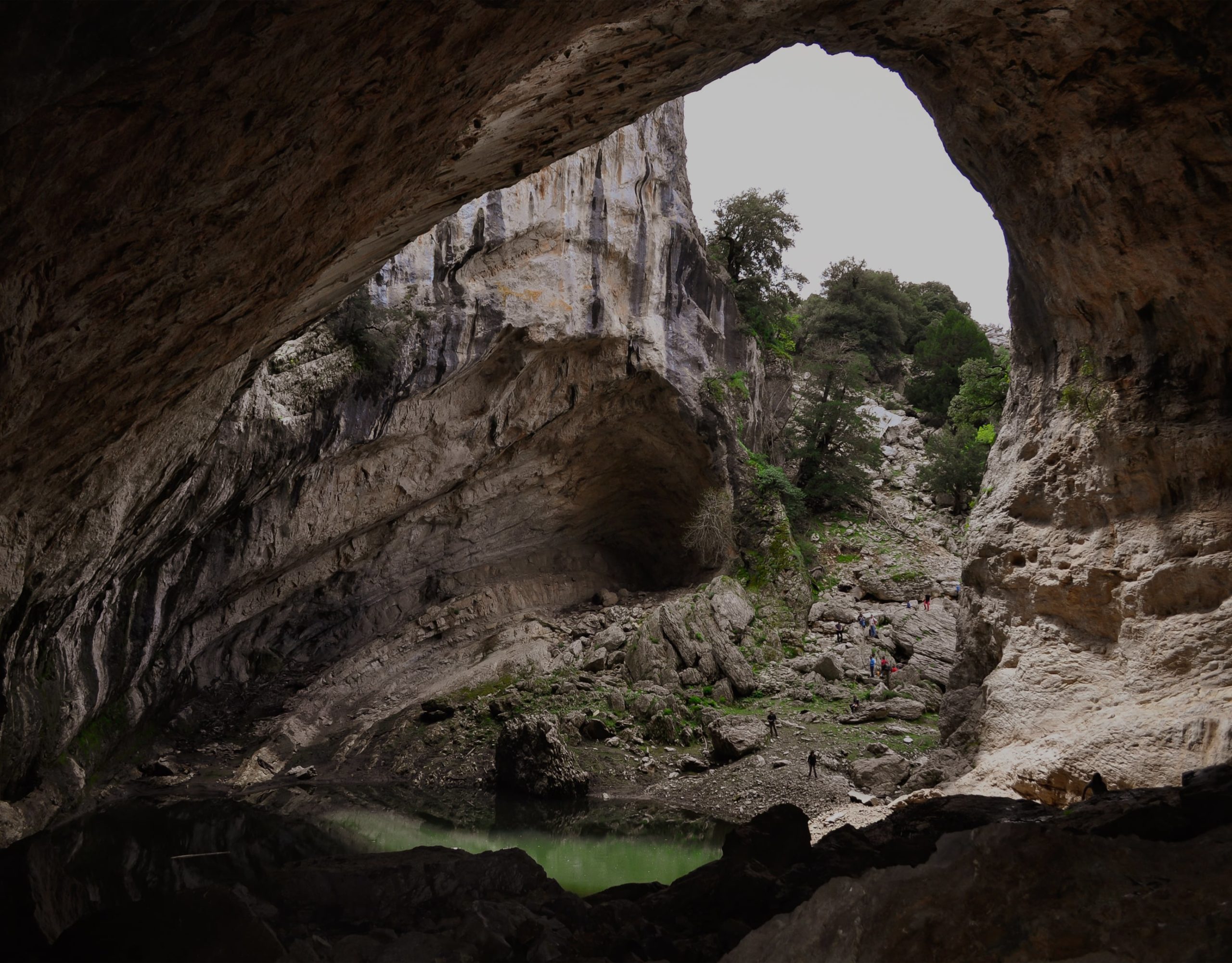
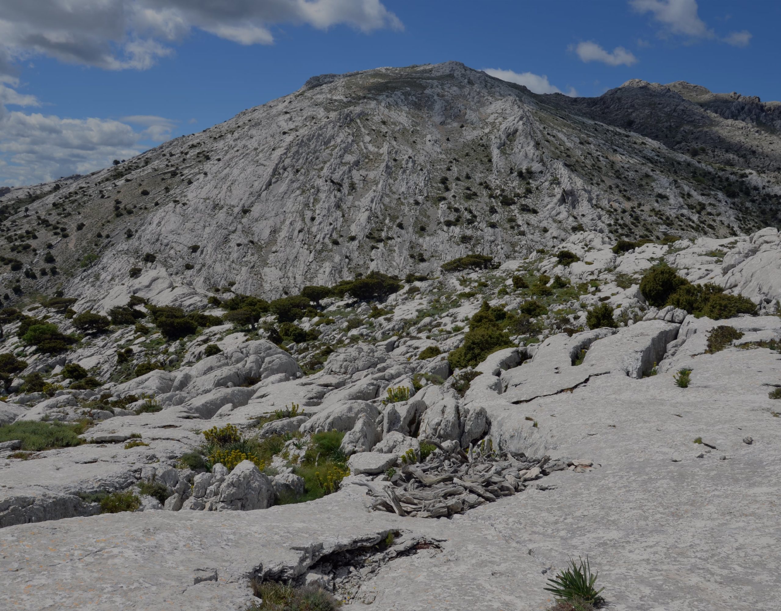
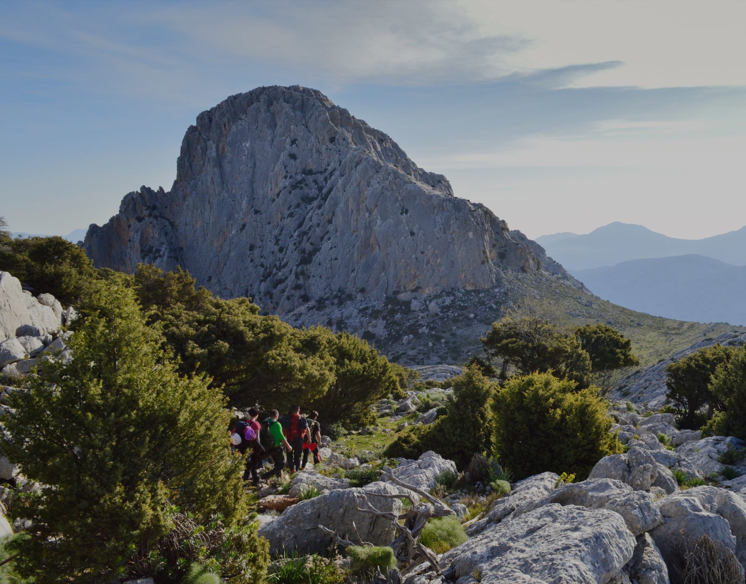
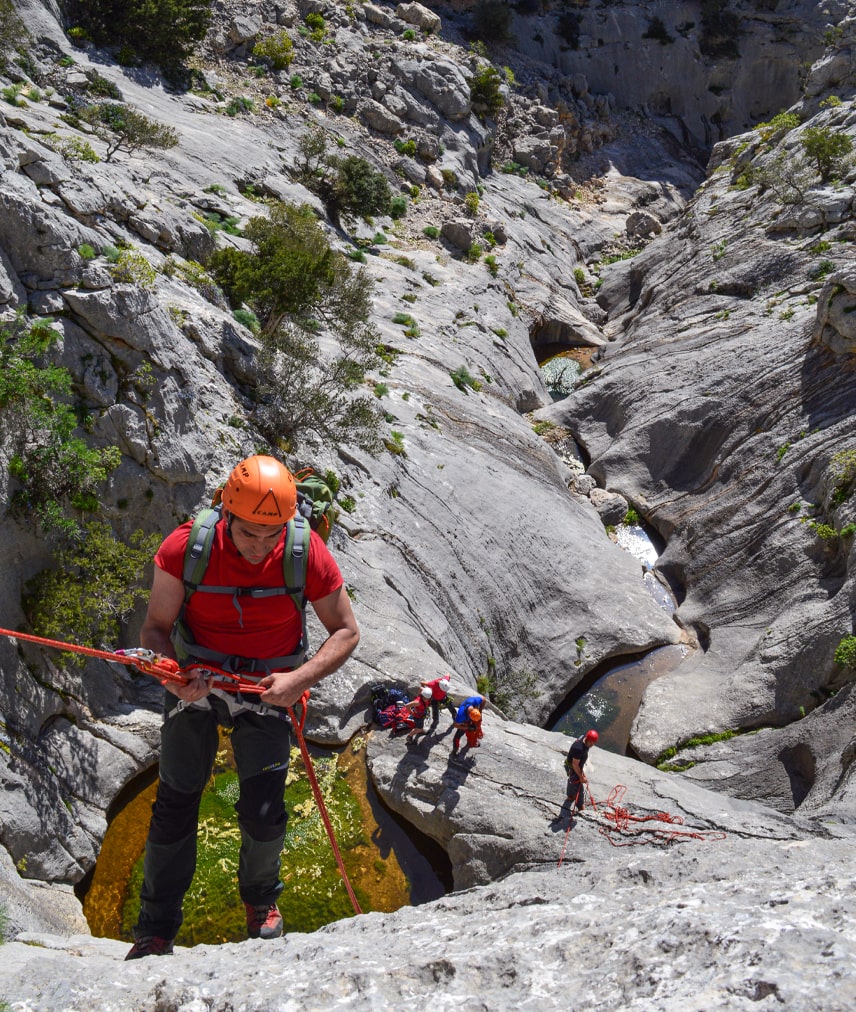
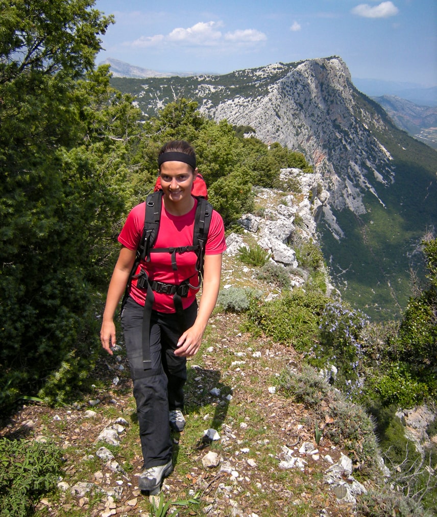
See for yourself canyons and dizzy gorges, desert plateaus, lush forests and sinkholes; unknown and ever-changing landscapes will unfold in front of your eyes.
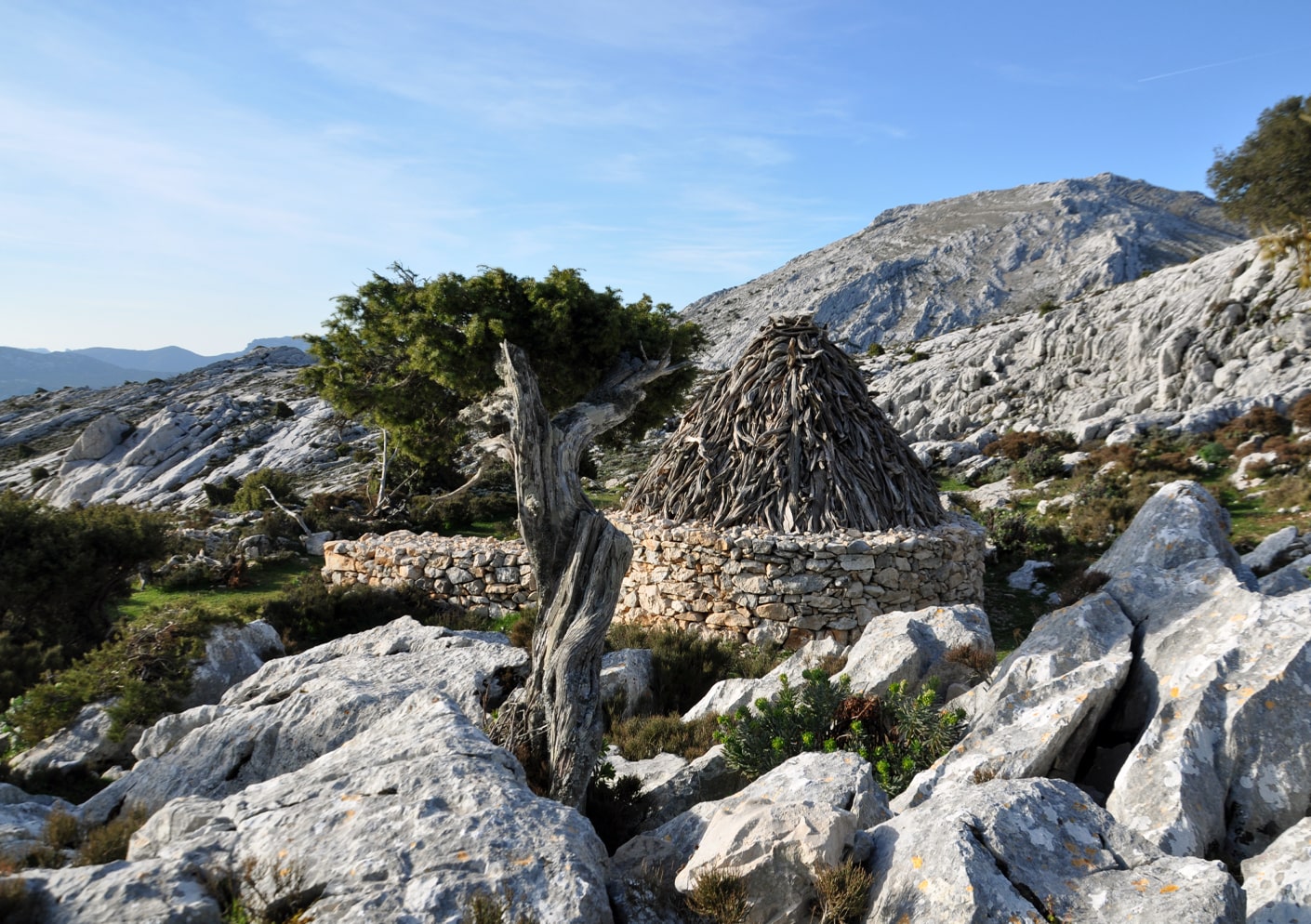
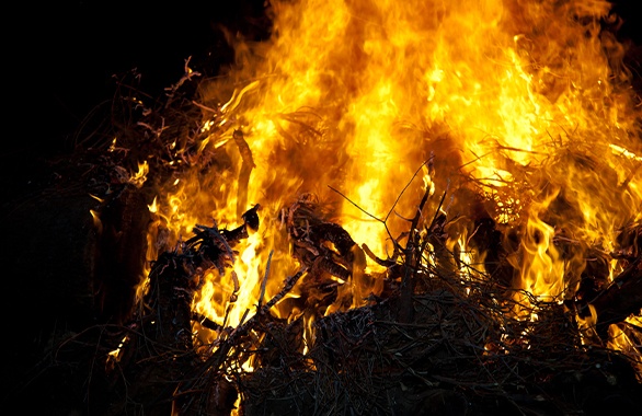
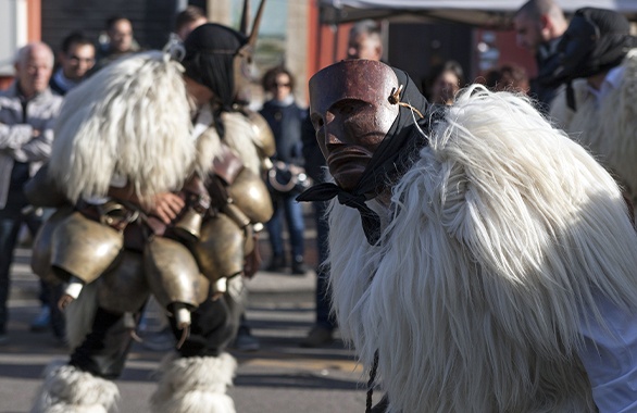
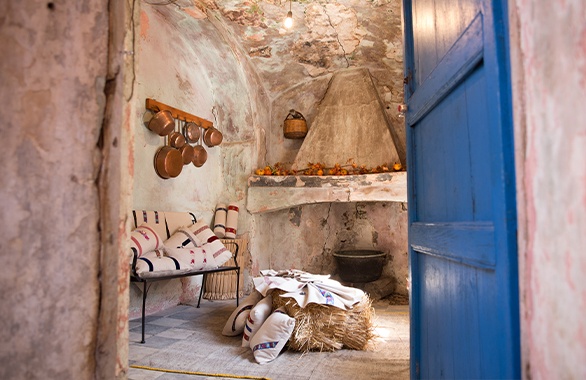
In the evening, have a well-deserved rest over the fire with a glass of wine – you’ll get familiar with the warm (and essential) welcome of the pinnetos (mountain shelters similar to cabins), which remind you of the housings in the ancient Nuragic times.

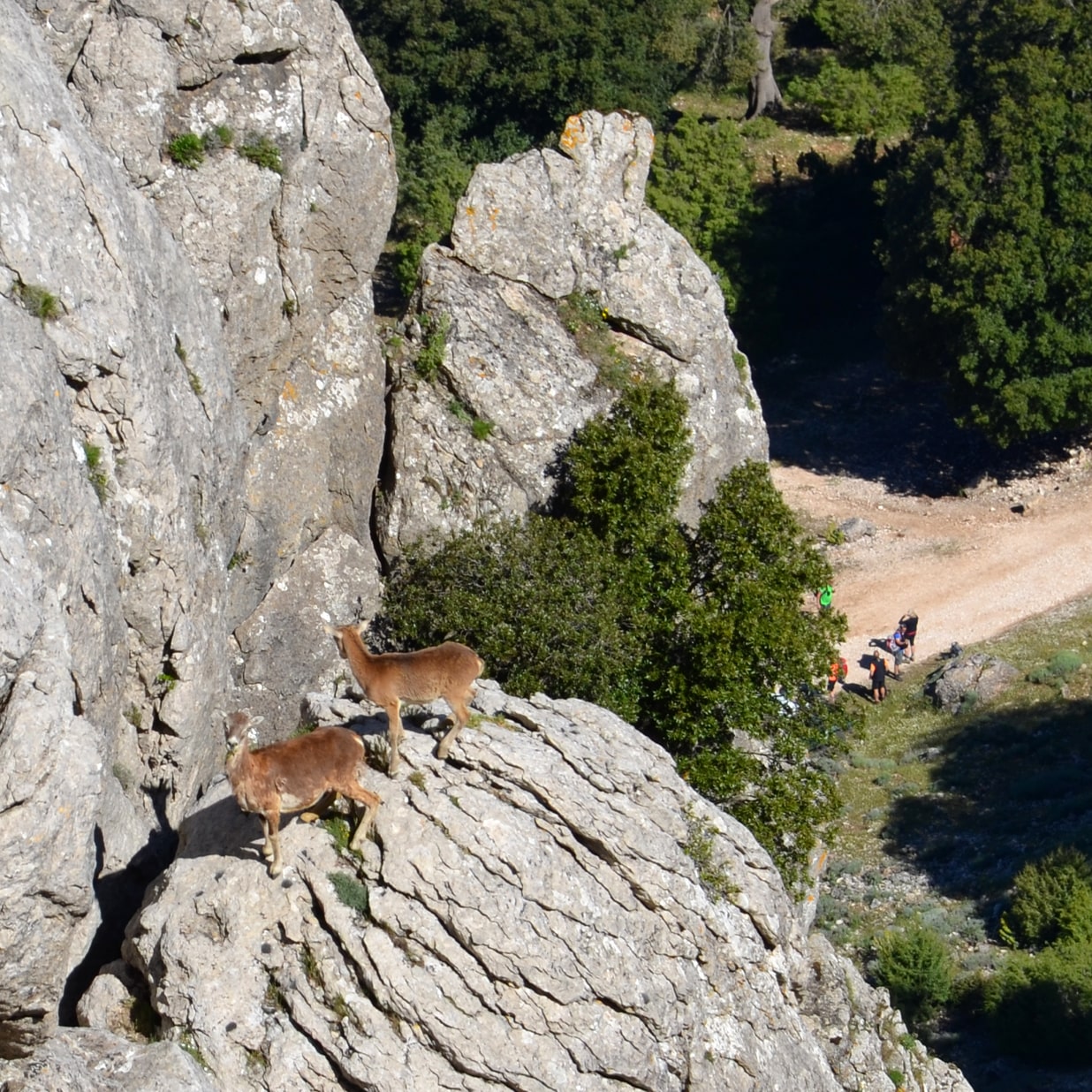
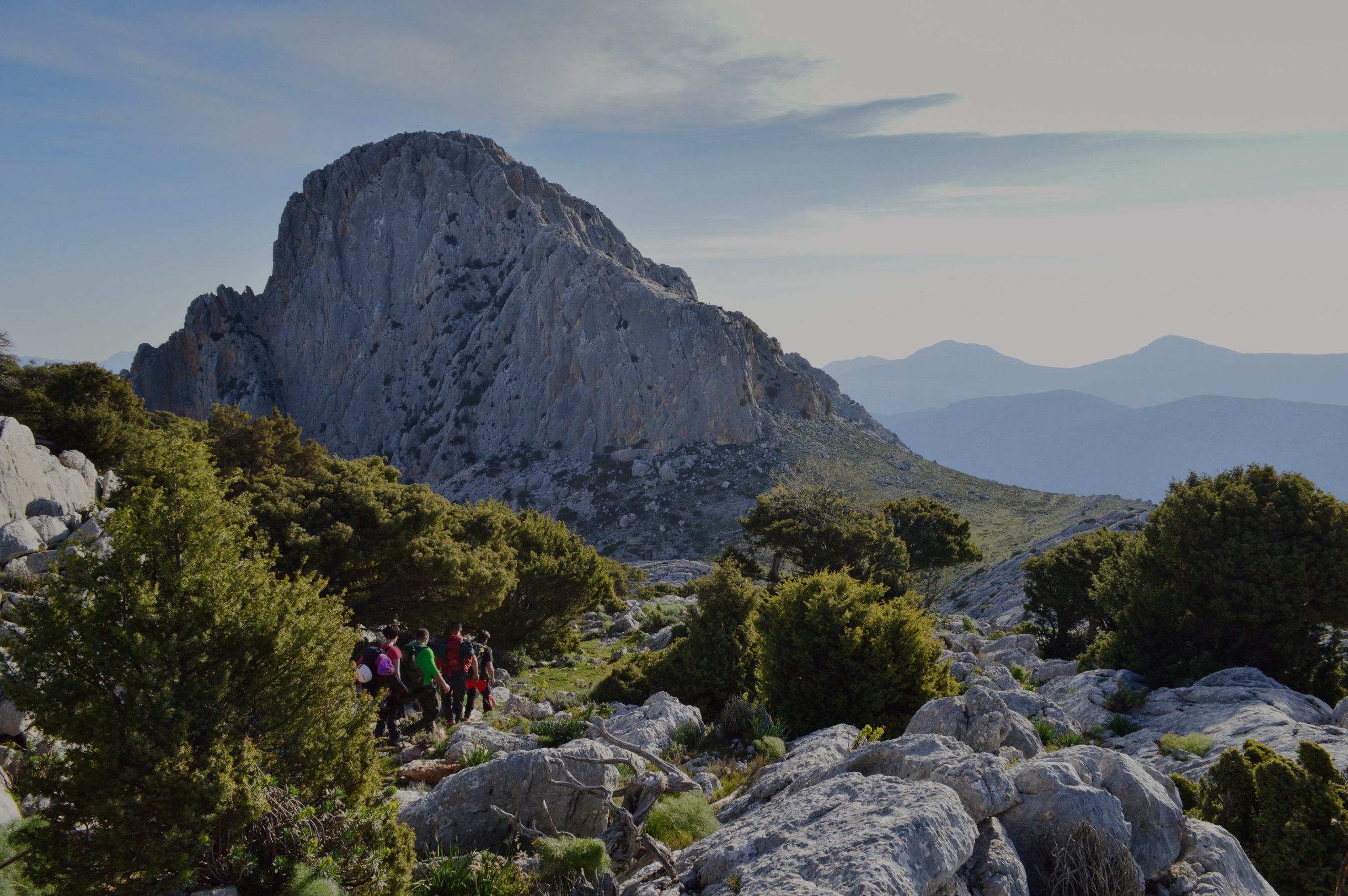
You’ll be surrounded by unique flora and fauna, by families of cautious mouflon, majestic golden eagles, and solitary goshawks.

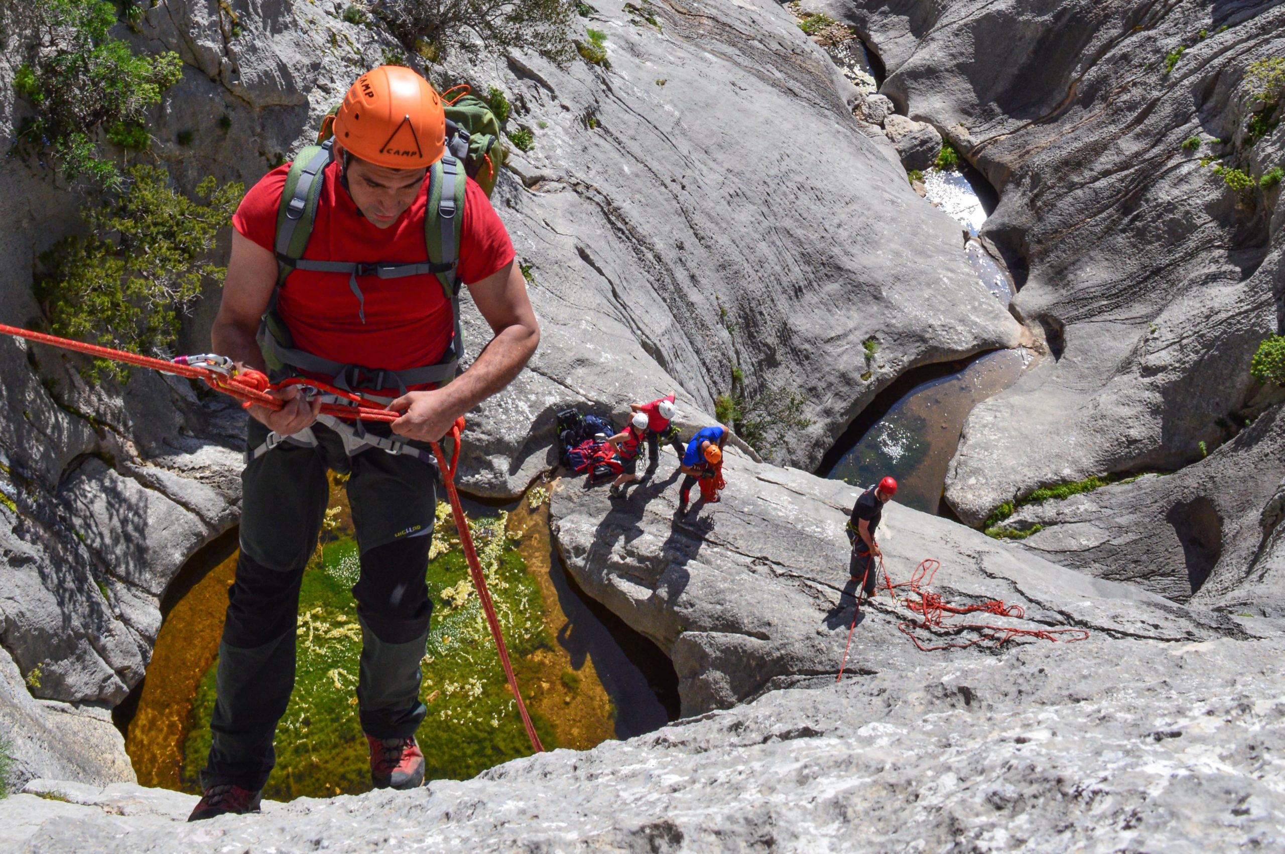
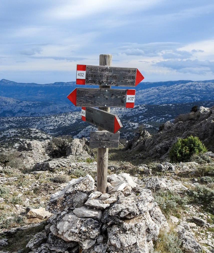
Incantu de Sardigna (Sardinia’s charm) is more than just a simple hiking trail. It is a tread linking the communities around the Supramonte. It is a journey through the stories of those who challenged this wild massif, and the prize for those with enough strength to face it will be moments of total immersion with pristine nature.

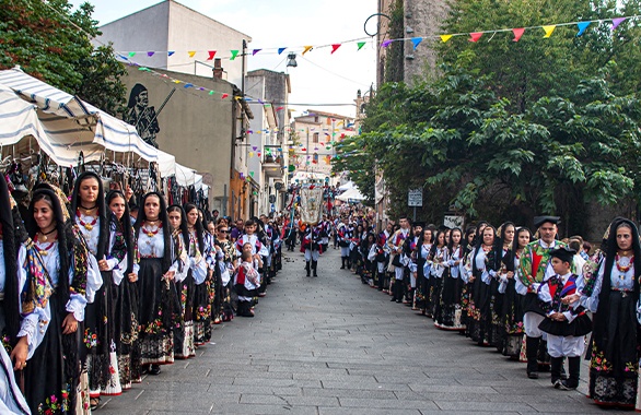
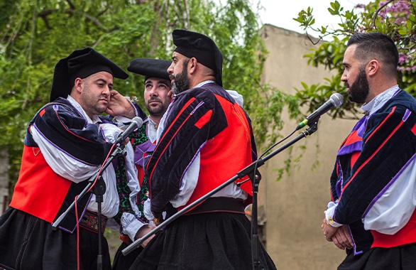
As a work of art, this unforgettable trail holds the signature of Mario Calaresu, a mountaineer from Oliena who dedicated his life to the mountains, especially to the Supramonte. He worked as a weaver: the old shepherds pointed him the ways, and he connected them all by creating a unified trail which goes from the heart of the island to the sea, all the way passing through the communities of this mountain: Oliena, Orgosolo, Dorgali, Urzulei e Baunei. His trails come from his love for nature and his deep respect for the culture and community; only recently, Mario made it public because it can be finally be done without disturbing the shepherds’ lives who would dot these formidable lands.

Things to know

You can complete the trail doing six stops in 6 consecutive evenings staying overnight in the mountains, or you can complete each stop by itself with the option of going back to town for the night.

Even if you are an expert, this hiking trail is available only with the help of expert guides.

The beginner’s trail requires good health conditions and suitable clothes; if you’re an expert, you’ll need complete mountaineering equipment. The minimum age is 15, and minors have to be accompanied by an adult.

The organisation will assist the hikers by carrying the breakfast and dinner, tents, mattresses, luggage and equipment.

Each hiker will have to bring the equipment required.

There is no water for almost the entire length of the trail, so there should be a proper amount (a min of 3 litres a day per person) which the organisers will hand on before each stop along with lunch.

There is no signal in many parts of the trail.

For the overnight stay you are going to use tents, as there are no shelters in the Supramonte. However, there might be a chance to stay in a cave or a pinnetu.

The best time to do it goes from the end of April till the end of June and from early September till the end of November.

The difficulty is indicated according to the criteria adopted by the Italian Alpine Club; for more info, please check the official CAI website.

* Key terms: E (excursionist), EE (expert excursionists), EEA (expert excursionists with gear), EEAF (expert excursionists with ferrata gear).

Incantu de Sardigna
Beginners trail
For those who don’t shy away from new challenges
Beginners trail

Starting point Oliena, località Su Càrmene (360 m circa of altitude)

Arrival Walk to Cala Luna or Cala Sisine. From then by sea from Cala Gonone or Santa Maria Navarrese and back to Oliena by land.
In case of adverse meteorological conditions, the organisation will find an alternative solution to going back by sea.

General info

Overall duration 6 days, or 1 day for each stop (8 hours circa)
Overall distance 86.329 km
Ascent difference in height +3288 m
Descent difference in height -3107 m
Max altitude 1227 m

Difficulty E (Excursionists)

Necessary equipment

Hiking shoes (high enough to protect your ankles)
Backpack
Sleeping bag
Headlamp (and spare batteries)
Water bottle
Sunscreen
Hat
Clothes according to the season, without forgetting: windbreaker, warm clothes for the night and long pants even during summer.
Penknife
Lighter
First Aid Kit
Supplements
Compass
Altimeter
A map on a scale of 1:25.000
Bag with clothes and spare batteries, soap, basic needs etc. (the organisers 4x4s will carry it).

The organisers will provide tents and mattresses.
Due to the morphological characteristics of the Supramonte, we discourage the use of telescopic sticks.

Stop

From Tuones to Sa Ohe

General info
  • Duration 8h
  • Distance 13.527 km
  • Ascent difference in height +824 m
  • Descent difference in height -1082 m
  • Max altitude S’Ishaeldda ’e Pradu 1227 m

Difficulty E (Excursionists)

Description

Day 1. Starting point from Oliena in località Su Càrmene (403 m altitude). We will first reach Tuones (927 m) and from there S’Ishaeldda ’e Pradu (1227 m): here, the positive height gain is 824 m. Next, we reach Sa Ohe’s cave in the Lanaitho valley (145 m), with a 1082 m negative drop.
– Lunch and overnight stay for those who are going to continue the trail. Return to village for the rest.

From Sa Ohe to Su Hampu ‘e Mudelhu

General info
  • Duration 8h
  • Distance 14.245 km
  • Ascent difference in height +794 m
  • Descent difference in height -91 m
  • Max altitude Su Hampu ’e Mudelhu 939 m

Difficulty E (Excursionists)

Description

Day 2. Starting from Sa Ohe (145 m height), we pass through Tiscali to reach Su Hampu ’e Donianìgoro (848 m). The height difference is 794 metres. Here we’ll enjoy the Su Nuragheddu nuraghe and the magnificent Su Selhone sinkhole (also known as Su Sercone). From Su Hampu ’e Donianìgoro we move through a slight uphill-downhill route towards Su Hampu ’e Mudelhu (939 m).
– Lunch and overnight stay for those who are going to continue the trail. Return to village for the rest.

From Su Hampu ’e Mudelhu to Su Campu ’e sa Càrcara

General info
  • Duration 9h
  • Distance 10.352 km
  • Ascent difference in height +726 m
  • Descent difference in height -663 m
  • Max altitude Su Nercone peak 1219 m

Notes hotel services available upon request

Difficulty E (Excursionists)

Description

Day 3. From Su Campu ’e Mudelhu (939 m), we move down to the Intro ’e Padente nuraghe (wrongly called Mereu on the I.G.M. maps). Then we proceed towards Sa Zuntura (493 m), and we reach Su Campu ’e sa Càrcara (760 m). From here, we continue to Cucutos peak (888 m) and then go up to Su Nercone peak (1219 m), after which we go down to the Sìlana passage (1002 m).
– Lunch and overnight stay for those who will continue the trail – possibility to stay in a pinnetu and use the services provided by the Sìlana hotel. Return to village for the rest.

From the Sìlana pass to Scàrtari

General info
  • Duration 8h
  • Distance 9.369 km
  • Ascent difference in height
  • Descent difference in height -552 m
  • Max altitude Sìlana pass 1002 m

Difficulty E (Excursionists)

Description

Day 4. From the Sìlana pass (1002 m) we reach S’Erbaulàrgiu peak (905 m), and from here we move down to Scàrtari (450 m). During this stop, you’ll be able to enjoy the Nuragic village of Or Murales and its surrounding sheepfolds, the botanical garden and the panoramic vista of S’Erbaulàrgiu peak.
– Lunch and overnight stay for those who are going to continue the trail. Return to village for the rest.

From Scàrtari to Serra Pirisi

General info
  • Duration 8h
  • Distance 9.786 km
  • Ascent difference in height +485 m
  • Descent difference in height
  • Max altitude Serra Pirisi 935 m

Difficulty E (Excursionists)

Description

Day 5. From Scàrtari (450 m) we reach Campu Èsone (695 m), a plateau overlooking the entire area of Còdula ’e Lune (also known as Còdula Ilune, while it is most commonly referred as Còdula di Luna). From Campu Èsone we keep going up to Serra Pirisi (935 m). During this stop, you will be able to visit the Tintinnolè cave and its springs within – a unique natural phenomenon in the Supramonte (at least at these heights).
– Lunch and overnight stay for those who are going to continue the trail. Return to village for the rest.

From Serra Pirisi to Cala Luna or Cala Sisine

General info
  • Duration 8h
  • Distance 17.160 km with last stop Cala Luna / 11.890 km with last stop Cala Sisine
  • Ascent difference in level
  • Descent difference in level -935 m
  • Max altitude Serra Pirisi 935 m

Notes Arrival walking to Cala Luna or Cala Sisine > then by the sea at Cala Gonone or Santa Maria Navarrese > driving to Oliena.
The transfer by sea might take up from 30 minutes to 1 hour, depending on the route.

Difficulty E (Excursionists)

Description

Day 6. The last stop of this hiking journey is an 8 hours walk from Serra Pirisi (935 m) to Cala Luna (original name Cala Ilune) or Cala Sisine.
You’ll be able to visit the Bidunie Nuragic village and the famous Lupiru natural arch at this stop.
– We’ll go back with a dinghy or a boat to Cala Gonone or Santa Maria Navarrese. In case of adverse conditions, we’ll go back differently.

Incantu de Sardigna
Experts trail
Hiking for the well-seasoned excursionists
Experts trail

Starting point Oliena, località Su Càrmene (360 m circa of altitude)

Arrival Walk to Cala Sisine. From then by sea from Cala Gonone or Santa Maria Navarrese and back to Oliena by land.
In case of adverse meteorological conditions, the organisers will find an alternative solution to going back by the sea.

General info

Overall duration 6 days, or 1 day for each stop (8 hours circa)
Overall distance 75.394 km
Ascent difference in height +4073 m
Descent difference in height -3799 m
Max altitude 1127 m

Difficulty EEA (expert excursionists with gear)

Necessary equipment

Mountaineering gear
Rope
Harnesses
Helmet
Cords
Snap hooks
Descenders
Abseil gloves
Wetsuit
Sleeping bag
Headlamp
Penknife
Lighter
Compass
Altimeter
A map on a scale of 1:25.000
First Aid Kit
Bag with clothes and spare batteries, soap, basic needs etc. (it will be carried by the organisers 4x4s, along with all the alpine gear).

Approved dinghies, tents and mattresses will be provided by the organisers.

Stop

From Tuones to Sa Ohe

General info
  • Duration 8h
  • Distance 12.992 km
  • Ascent difference in height +824 m
  • Descent difference in height -1082 m
  • Max altitude S’Ishaeldda ’e Pradu 1227 m

Notes rope passes

Difficulty EEA (expert excursionists with gear)

Description

Day 1. Starting point from Oliena in località Su Càrmene (403 m altitude). We will first reach Tuones (927 m) and then S’Ishaeldda ’e Pradu (1227 m). From this point, we reach down to the valley of Su Troccu ’e su Tuo: this passage is going to require alpine gear (rope, harnesses, headgear, cords, snap hooks, descenders, abseil gloves etc.), which the organisers will carry. Then we’ll reach and go past the Sòvana plateau (660 m) to get to the Pèntumas valley: here, we’ll perform 13 rope jumps and get to the Sa Ohe cave, in the valley of Lanaitho (145m).
– Lunch and overnight stay for those who are going to continue the trail. Return to village for the rest.

From Sa Ohe to Su Hampu ‘e Mudelhu

General info
  • Duration 8h
  • Distance 14,245 km
  • Ascent difference in height +794 m
  • Descent difference in height -91 m
  • Max altitude Su Hampu ’e Mudelhu 939 m

Difficulty E (Excursionists)

Description

Day 2. Starting from Sa Ohe (145 m height), we pass through Tiscali to reach Su Hampu ’e Donianìgoro (848 m). The height difference is 794 metres. Here we’ll enjoy the Su Nuragheddu nuraghe and the magnificent Su Selhone sinkhole (also known as Su Sercone). From Su Hampu ’e Donianìgoro we move through a slight uphill-downhill route towards Su Hampu ’e Mudelhu (939 m).
– Lunch and overnight stay for those who are going to continue the trail. Return to village for the rest.

From Su Hampu ’e Mudelhu to Su Campu ’e sa Càrcara

General info
  • Duration 9h
  • Distance 11.481 km
  • Ascent difference in height +545 m
  • Descent difference in height -724 m
  • Max altitude Su Disterru 940 m

Notes rope passages, dinghies, non-compulsory swimming areas

Difficulty EEA (Expert excursionists with gear)

Description

Day 3. From Su Hampu ’e Mudelhu (939 m), we move towards the S’Ishalone su Alavrihè passage, which leads to Sa Hòdula Manna (a name used in Orgosolo; while it is Sa Còdula or Lacos in Urzulei. This area is also wrongly called Flumineddu. 737 m height).
From here, we have two options: the first one is to descend the Còdula Orbisi (700 m) and the cliff ledge of S’Ishalone su Portellu to arrive at Cucutos peak (888 m).
The second, more demanding option is to descend to the valley of Gorropu, which includes some hidden passages, and then climb through the beautiful secret passage of Su Piggiu ’e Dorgolè (343 m). Finally, both paths end at Su Campu ’e sa Càrcara (760 m).
This stop requires a light wetsuit and all the mountain gear available and dinghies to go through various small lakes (expert swimmers might skip the dinghy. The organisers will transport all equipment dinghies will be provided).
– Lunch and overnight stay for those who are going to continue the trail. Return to village for the rest.

From Su Campu ’e sa Càrcara to the Sìlana pass

General info
  • Duration 8h
  • Distance 6.490 km
  • Ascent difference in height +459 m
  • Descent difference in height -217 m
  • Max altitude Su Nercone peak 1219 m

Difficulty E (Excursionists)

Description

Day 4. From Su Campu ’e sa Càrcara (760 m) we reach Cucutos peak (888 m). Then we move to Su Nercone peak (1219 m) to reach the Sìlana pass (1002 m).
The overall ascent difference in height is 459 m, while the negative drop is 217 m.
– Lunch and overnight stay for those who will continue the trail – possibility to stay in a pinnetu and use the services provided by the Sìlana hotel. Return to village for the rest.

From the Sìlana Pass to Serra Pirisi

General info
  • Duration 8h
  • Distance 20.360 km
  • Ascent difference in height +485 m
  • Descent difference in height -750 m
  • Max altitude Sìlana pass 1002 m

Difficulty E (Excursionists)

Description

Day 5. From the Sìlana pass (1002 m) we reach S’Erbaulàrgiu point (905 m), from here we move down to Scàrtari (450 m). Then we proceed up to Campu Èsone (695 m), a plateau overlooking the entire Còdula ’e Lune (also known as Còdula Ilune, while it is most commonly referred to as Còdula di Luna). Finally, the last part leads to Serra Pirisi (935 m).
During this stop, you will be able to visit the Tintinnolè cave and its springs within – a unique natural phenomenon in the Supramonte (at least at these heights).
– Lunch and overnight stay for those who are going to continue the trail. Return to village for the rest.

From Serra Pirisi to Cala Sisine

General info
  • Duration 8h
  • Distance 9.826 km
  • Ascent difference in height
  • Descent difference in height -935 m
  • Max altitude Serra Pirisi 935 m

Notes Chance of using the ropes in same areas.
Arrival walking to Cala Sisine > then by the sea at Cala Gonone or Santa Maria Navarrese > driving to Oliena.
The transfer by sea might take up from 30 minutes to 1 hour, depending on the route.

Difficulty EE/EEA (Expert excursionists/Expert excursionists with gear)

Description

Day 6. From Serra Pirisi (935 m), we reach down to the valley of S’Orruàrgiu. There’s the chance to climb down through some stunning rope passages or proceed without the use of mountain gear (in any case, the minimum difficulty level will be EE). Finally, we arrive at Cala Sisine (and you are free to visit Cala Luna). We also suggest visiting S’Arcada Manna, an excellent natural arch 80 metres in height.
– We’ll go back with a dinghy or a boat to Cala Gonone or Santa Maria Navarrese. In case of adverse conditions, we’ll go back differently.

WANT TO EXPERIENCE FIRSTHAND INCANTU DE SARDIGNA?
Whether you are and expert or a beginner excursionist, please contact one of the area guides and start your adventure.
Events
Sunny all day - Variable wind
Sunday
19 / 7 °C
Sunny all day - Strong west wind
Monday
16 / 7 °C
Sunny throughout the morning and Overcast later in the day - Strong west wind
Tuesday
14 / 6 °C
Sunny intervals throughout the morning and Overcast later in the day - Strong west wind
Wednesday
13 / 5 °C
Sunny intervals all day - Strong west wind
Thursday
17 / 8 °C
Sunny all day - Moderate east wind
Friday
20 / 6 °C
Sunny intervals all day - Strong east wind
Saturday
21 / 10 °C